Nationwide eRUC is coming, and the shift will reshape how every vehicle contributes to funding our roads.
Robinsight is New Zealand’s most experienced independent data steward for national telematics datasets. We translate raw GPS and RUC data into regulator-aligned, actionable intelligence - built on more than a decade of trust and proven delivery. Our systems handle full-scale data ingestion, align seamlessly with existing transport models, and follow a privacy-first approach that meets the governments data standards. From understanding your transport challenges to delivering bespoke, targeted solutions, we make sure you’re prepared for what’s next.

We follow national data ethics and stewardship frameworks—protecting privacy, building trust, and respecting governance obligations at every step.

No generic dashboards. We listen closely, understand the specific transport question, and design data-driven outputs that precisely answer your real-world needs.

More than 12 years of experience, full-scale data ingestion readiness, integration with existing transport models, and a foundation built on trusted compliance.

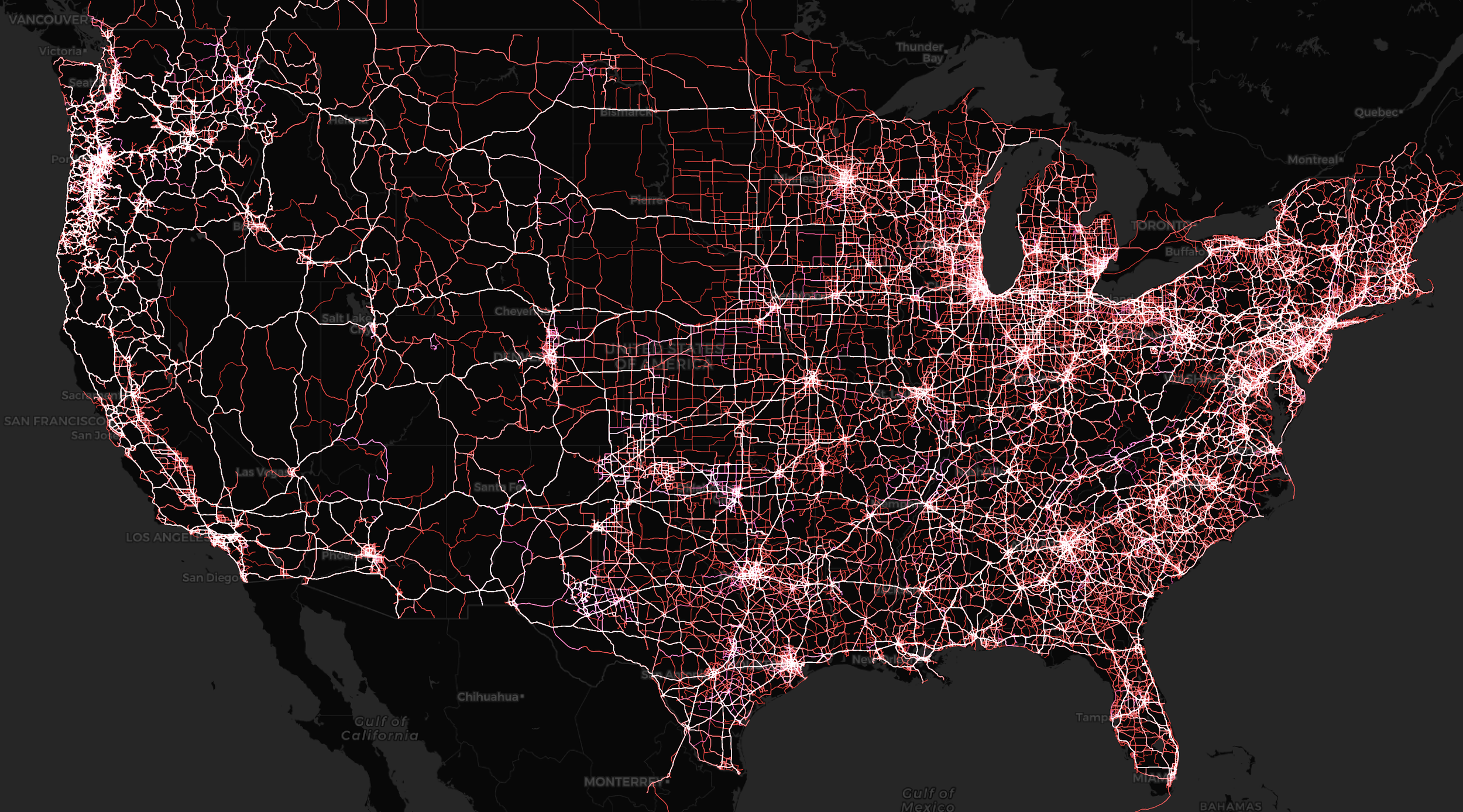
This project builds on earlier work using Robinsight’s freight telematics data to develop robust measures of freight network resilience. In partnership with U.S. universities, the goal is to refine and validate these measures, integrate them into disruption modelling, and expand analysis to deliver actionable tools for state transportation planners.
Learn MoreGet answers to key questions about our analytics, compliance, and implementation. Designed for transport professionals and decision makers.
We aggregate GPS, RUC, and sensor data from trusted, regulator-approved sources. All datasets are validated for accuracy and compliance with industry standards.
Our analytics go beyond dashboards, providing context, actionable insights, and recommendations tailored to government and infrastructure needs.
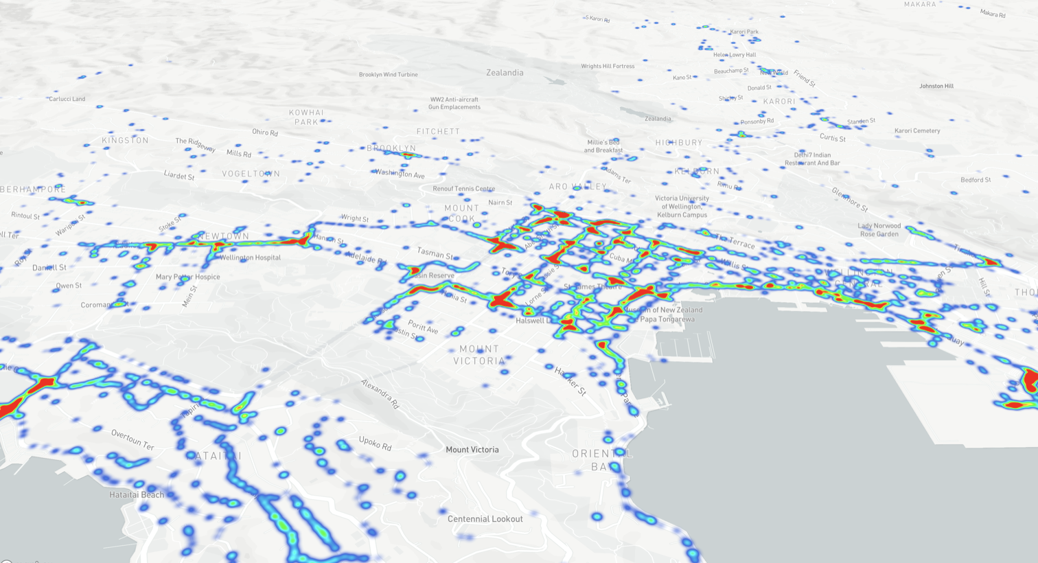
Our core dataset comes from over 120,000 connected vehicles in New Zealand and 200,000 globally. In New Zealand alone, that represents more than 40% of the heavy freight fleet — far beyond what traditional surveys could ever capture. This scale allows robust, high-confidence analysis across freight, passenger, and mixed transport corridors.
Coverage spans every region of New Zealand, with rich sampling across urban, rural, and inter-regional networks. For freight, our penetration rate is unmatched, and we also capture a wide range of vehicle types, routes, and operating contexts. The result is data that reflects real-world behaviour at scale, not just a slice of it.
Most projects are delivered within 2–6 weeks, depending on data complexity and client requirements. We provide clear milestones and regular updates.
Yes. We align data from different GPS sources to a common aggregator such as a road or statistical area before moving it through our analysis pipeline. Our ingestion systems handle everything from small CSV datasets to billions of records on an event stream, ensuring seamless integration into the same high-quality analytics framework.
Yes. We routinely process billions of data points across multiple years, regions, and datasets. Our infrastructure is built for scale, enabling national and cross-regional studies without sacrificing accuracy or detail.
We never release identifiable trip data. All outputs are aggregated to common statistical areas, roads, or corridors. We also reverse-engineer our datasets to ensure no individual or business can be identified, even indirectly. This privacy-first approach is embedded in every stage of analysis.
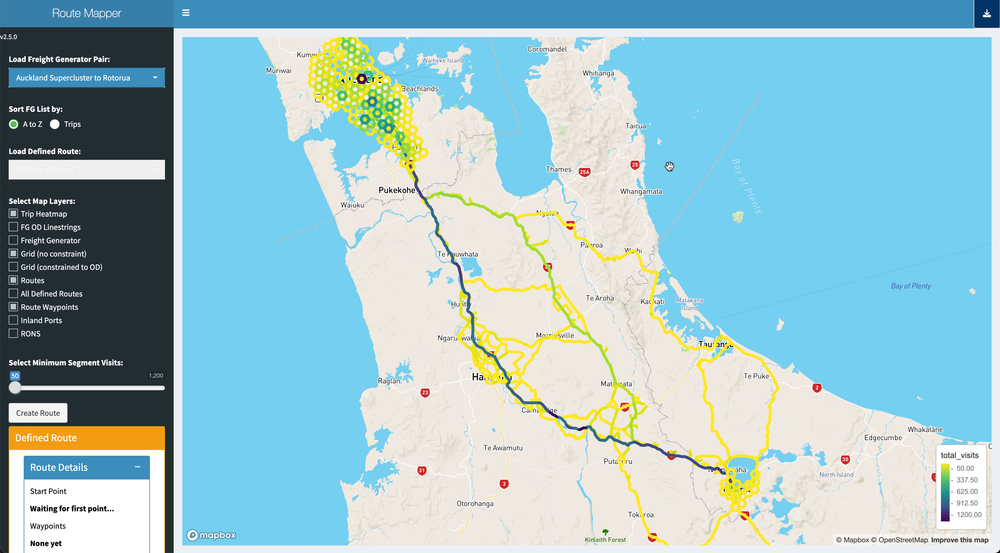
Using GPS and RUC-linked telematics, we’ve delivered projects on: